Liveable cities
Local government units (LGUs) must work together and take advantage of technology to create disaster-resilient towns and cities, according to architect Nathaniel “Dinky” von Einsiedel, president of the Alliance for Safe, Sustainable, and Resilient Environments (ASSURE). ASSURE is a group of environmental planners, architects, engineers, and related professionals directly involved with disaster risk mitigation and climate adaptation work. The group provided emergency assistance and built shelters in poor municipalities affected by Typhoon Yolanda in 2013.
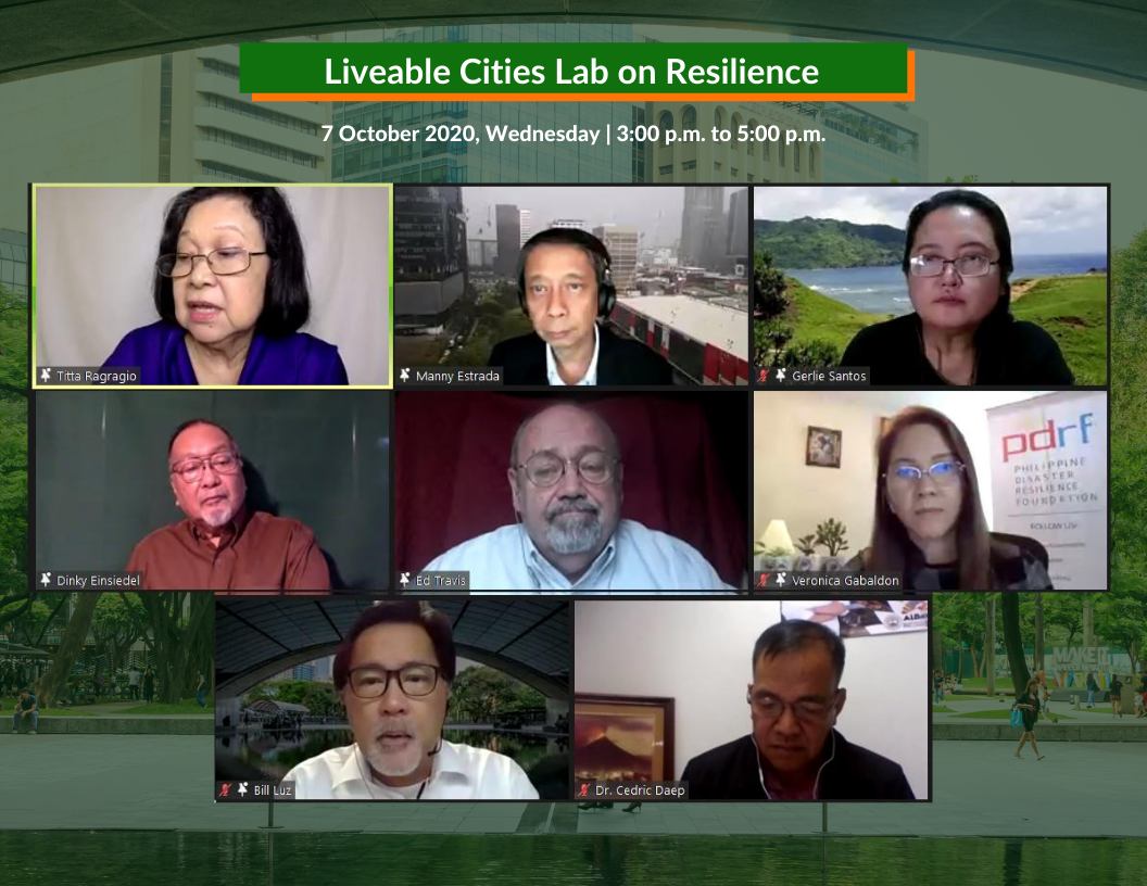
“The impact of climate change, of weather-induced disasters, is that they do not respect political boundaries,” said Mr. von Einsiedel during the Liveable Cities Lab on Resilience webinar on October 21.
This is apparent in projects such as ASSURE’s Binahaan Watershed River Flood Study, initiated in 2015. By integrating rainfall data, information from flood hazard maps such as the extent and depth of flooding, and expertise from different organizations, ASSURE was able to create diagrammatic models showing how an area could be made both disaster-resilient and enjoyable for the community.
A model for Candiis Creek in Leyte, for instance, identified flood-safe areas and a potential trail for runners and bikers. The study, which covered five municipalities in Leyte, required LGUs to share their issues and limitations as well as optimize their respective resources.
Projects and engineering interventions were based on on-the-ground information collected in numerous surveys conducted in the affected barangays, said Geraldine Santos, vice-president of ASSURE.
Technology also plays a huge role in making disaster-resilience efforts more efficient. “It is necessary to create that kind of balance between the technology that’s available there in the market, and the need for us to build this resiliency considering that we are facing more and stronger typhoons and all kinds of disasters, including the pandemic,” said Mr. von Einsidel.
Leonard Travis, team lead for urban and regional planning at real estate developer Empark Land Development, proposed a nationwide operations control center (OCC). International or national hubs, such as the Philippine Atmospheric, Geophysical and Astronomical Services Administration (PAGASA), can use information and communications technology (ICT) and the Internet of Things (IoT) to cascade real-time weather data to status-viewing screens in municipal hubs.
In the meantime, Empark is running a sample implementation in Cauayan City in Isabela Province. Built in 2019, the OCC in Cauayan monitors the weather through sensors installed in hydroponic sites across Isabela’s municipalities.
The Philippine Disaster Resilience Foundation (PDRF), an organization on disaster management for the private sector, established an operations system called Handa in 2018 which identifies the hazard risks in different areas. This helps their member companies make informed decisions on how to set up their facilities and workforce. Handa runs on ArcGIS, a geographic information system that is used for creating and using maps, and compiling and analyzing geographic data. PDRF also runs the Innovations Academy for Disaster Awareness, Preparedness, and Training (iADAPT), an e-learning platform on disaster risk reduction, business continuity, and climate change adaptation. “Our thinking is that, during the pandemic, the typhoons will not stop… we have active volcanoes, we have active fault lines… The advocacy for preparing the community must continue,” said Veronica Gabaldon, executive director at PDRF.